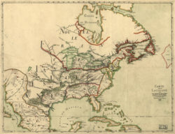
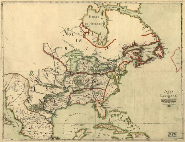
Carte de la Louisiane ou des voyages du Sr. De La Salle
The title of this 1684 map translates as “Map of Louisiana, or the Voyages of the Sieur de La Salle.” Although La Salle successfully explored the Mississippi River from the Illinois River to the Gulf of Mexico, the map mistakenly places the mouth of the Mississippi in present-day Texas.
Courtesy of Library of Congress, Geography and Map Division
Carte de la Louisiane ou des voyages du Sr. De La Salle. Franquelin, Jean Baptiste Louis (mapmaker)
Additional Data
| Courtesy of | Library of Congress, Geography and Map Division |
| Date | 1684 |
| Copyright | Public Domain |
| Disclaimer | The Louisiana Endowment has included this work in 64parishes.org for the purposes of criticism, comment, teaching, scholarship, educational research, all other nonprofit educational usages under Section 107 of the U.S. Copyright Act. |