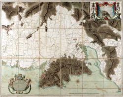
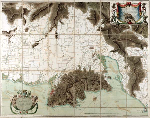
Plan de la Plaine
A rare, finely colored map of the plain surrounding the city of Cap François, capital of the colony of Saint Domingue.
Courtesy of The Historic New Orleans Collection
Plan de la Plaine. Phelipeau, René (Map maker)
Additional Data
| Courtesy of | The Historic New Orleans Collection |
| Date | Unidentified |
| Copyright | Copyrighted |
| Disclaimer |
The Louisiana Endowment has included this work in 64parishes.org for the purposes of criticism, comment, teaching, scholarship, educational research, all other nonprofit educational usages under Section 107 of the U.S. Copyright Act. Physical rights are retained by the Historic New Orleans Collection. Rights are held in accordance with the U.S. copyright laws. |