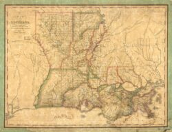
Map of Louisiana
1820 map of Louisiana showing the western boundary established by the Adams-Onís Treaty.
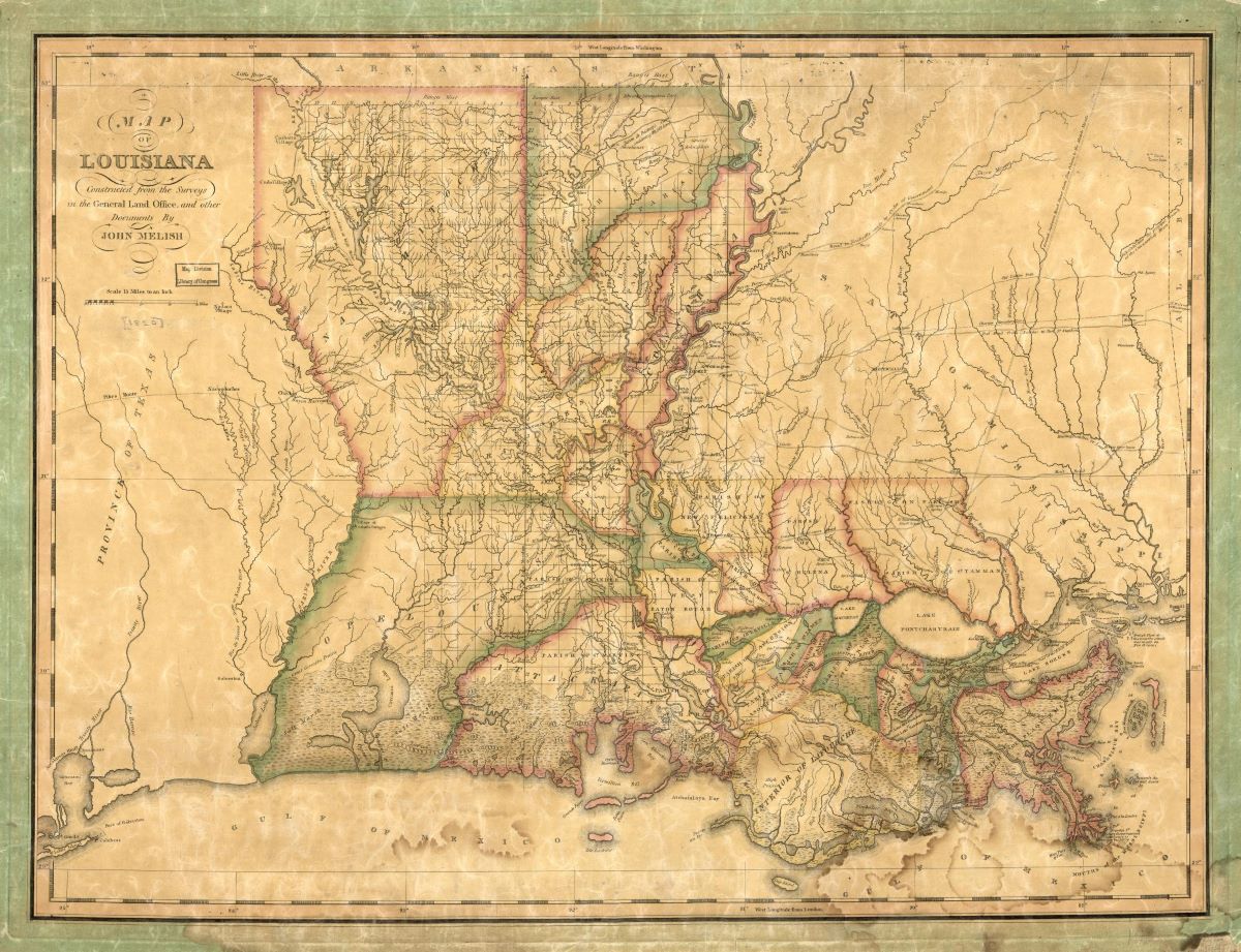
Courtesy of Library of Congress, Geography and Map Division
Map of Louisiana. John Melish, cartographer
Additional Data
| Courtesy of | Library of Congress, Geography and Map Division |
| Date | 1820 |
| Copyright | Public Domain |
| Disclaimer | The Louisiana Endowment for the Humanities has included this work on 64parishes.org for the purposes of criticism, comment, teaching, scholarship, educational research, and all other nonprofit educational usages under Section 107 of the U.S. Copyright Act. |