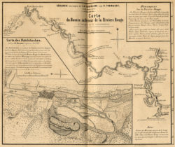
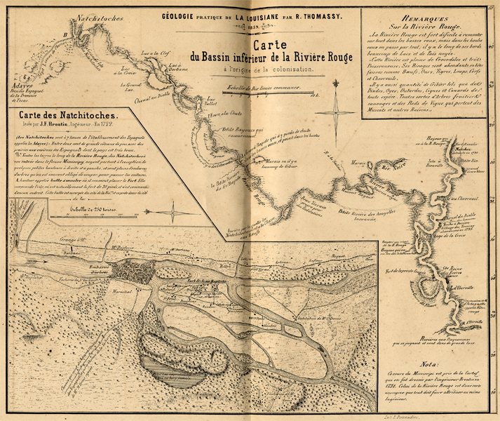
Carte du Bassin Inferieur de la Riviere Rouge
Black-and-white reproduction of a map showing Fort St. Jean Baptiste and Presidio de Los Adaes near Natchitoches, Louisiana. The map is from from R. Thomassy's Geologie Pratique de la Louisiane and is based on a 1764 map by J. N. Bellin.
Courtesy of Louisiana State Museum
Carte du Bassin Inferieur de la Riviere Rouge. Thomassy, Raymond (Cartographer)
Additional Data
| Courtesy of | Louisiana State Museum |
| Collection | Louisiana State Museum Map Collection |
| Date | 1860 |
| Copyright | Copyrighted |
| Disclaimer |
Physical rights are retained by the Louisiana State Museum. The Louisiana Endowment has included this work in 64parishes.org for the purposes of criticism, comment, teaching, scholarship, educational research, all other nonprofit educational usages under Section 107 of the U.S. Copyright Act. |