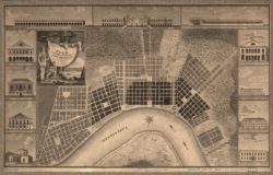
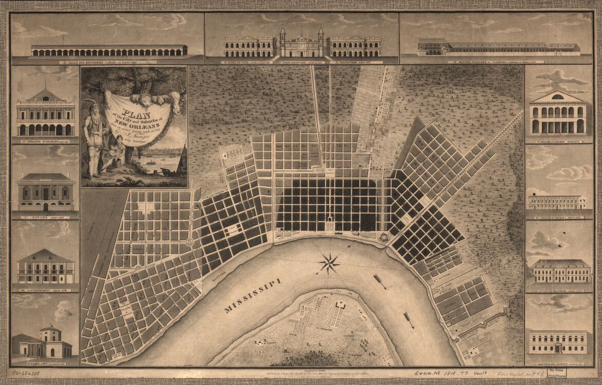
Plan of the city and suburbs of New Orleans : from an actual survey made in 1815
Relief shown by hachures. Oriented with north toward upper right. Includes illustrations of buildings, with name and date of construction for each.
Courtesy of Library of Congress, Geography and Map Division
Plan of the city and suburbs of New Orleans : from an actual survey made in 1815. Tanesse, I. Rollinson, William, 1762-1842. Del Vecchio, Charles. Maspero, P.
Additional Data
| Courtesy of | Library of Congress, Geography and Map Division |
| Date | 1815 |
| Copyright | Public Domain |
| Disclaimer |