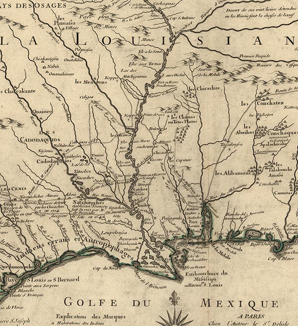
Detail from Carte de la Louisiane et du cours du Mississipi
This detail from a 1718 map shows the locations of villages and towns inhabited by numerous Native American groups, including the Choctaw and Chickasaw, across parts of what is now Louisiana, Mississippi, Alabama, and Florida.

Courtesy of Library of Congress, Geography and Map Division
Detail from Carte de la Louisiane et du cours du Mississipi. Guillaume de L'Isle
Additional Data
| Courtesy of | Library of Congress, Geography and Map Division |
| Date | 1718 |
| Copyright | Public Domain |
| Disclaimer | The Louisiana Endowment for the Humanities has included this work on 64parishes.org for the purposes of criticism, comment, teaching, scholarship, educational research, and all other nonprofit educational usages under Section 107 of the U.S. Copyright Act. |
