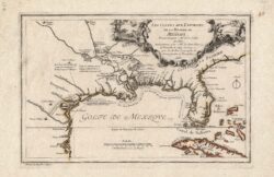
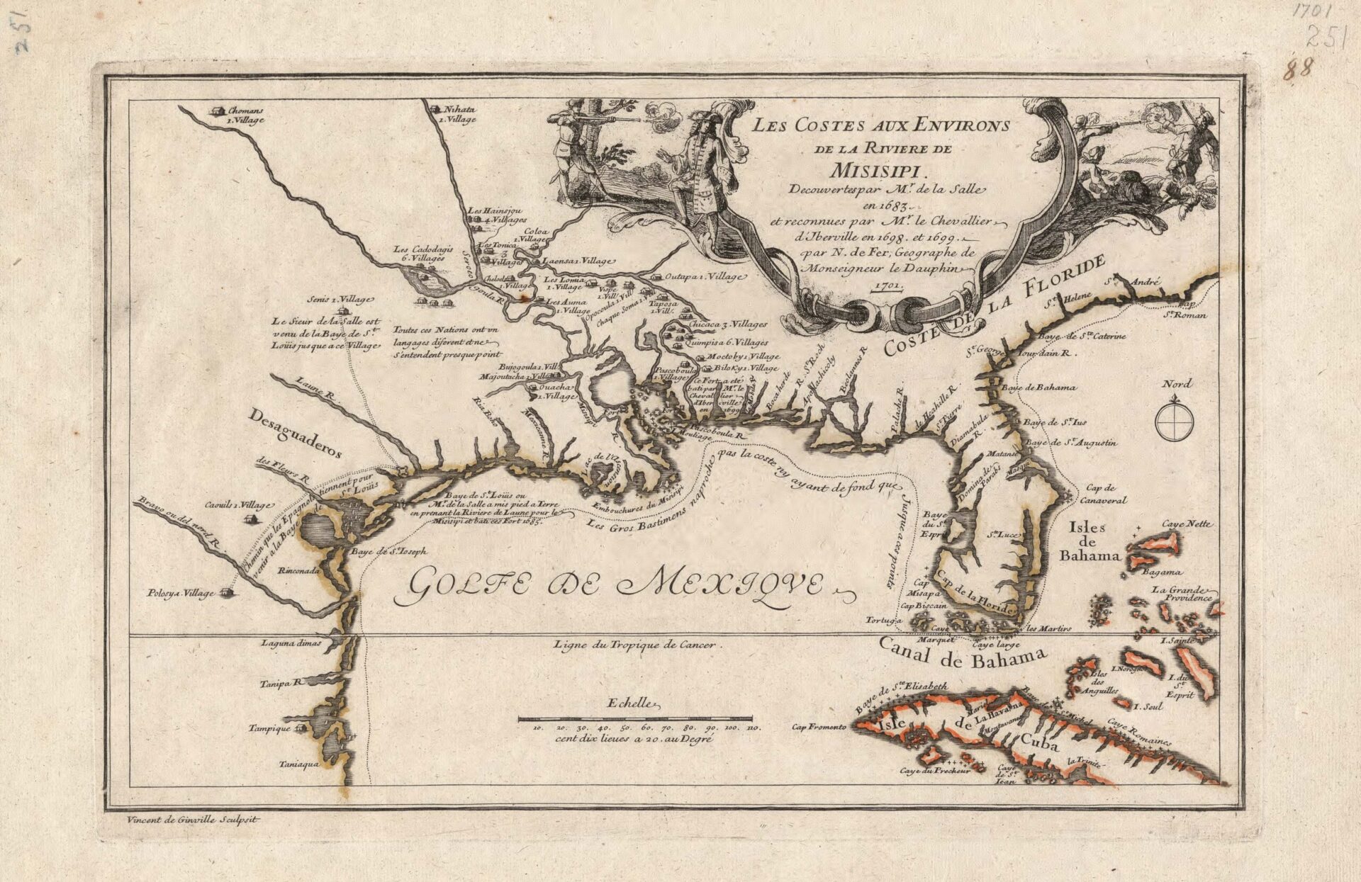
Les Costes aux Environs de la Rivière de Misisipi, 1701
A 1701 map of America east of the Mississippi River, Cuba, and the Bahamas showing areas of French exploration from 1683 to 1699. The map includes the locations of numerous indigenous polities considered part of Les Petites Nations.
Courtesy of Library of Congress
Les Costes aux Environs de la Rivière de Misisipi, 1701. Nicolas De Fer and Vincent De Ginville
Additional Data
| Courtesy of | Library of Congress |
| Date | 1698 to 1701 |
| Copyright | Public Domain |
| Disclaimer | The Louisiana Endowment for the Humanities has included this work on 64parishes.org for the purposes of criticism, comment, teaching, scholarship, educational research, and all other nonprofit educational usages under Section 107 of the U.S. Copyright Act. All rights reserved by The Library of Congress. |