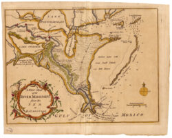
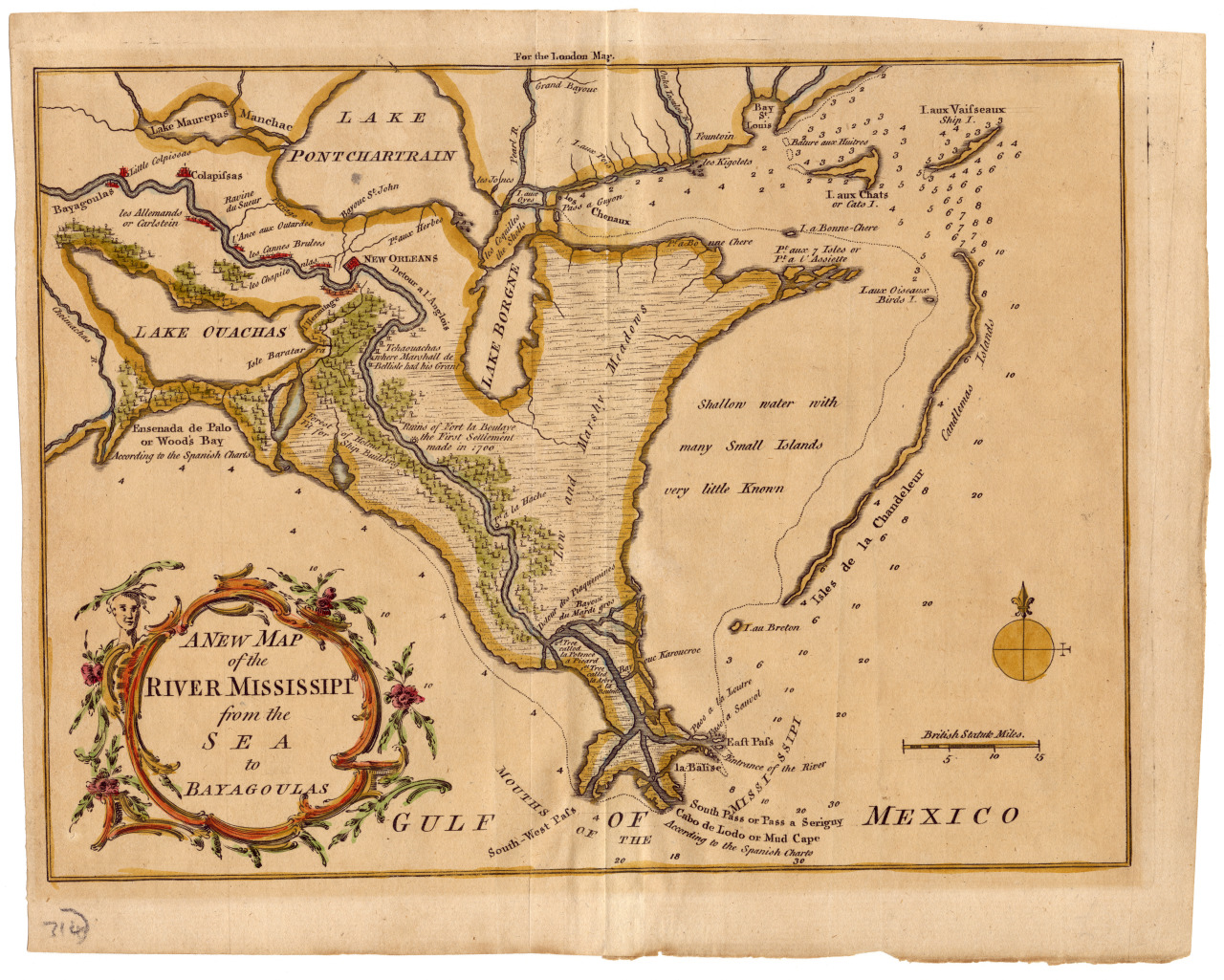
Map of Mississippi River
Engraved map with watercolor extending from the Chandeleur Islands to west of Lake Maurepas and from the mouth of the Mississippi to Lake Pontchartrain.
Courtesy of The Historic New Orleans Collection
Map of Mississippi River. Thomas Jefferys, cartographer; Thomas Kitchin, engraver; London Magazine, publisher
Additional Data
| Courtesy of | The Historic New Orleans Collection |
| Collection | Gift of Mrs. Henry C. Pitot |
| Date | 1759–1764 |
| Copyright | Copyrighted |
| Disclaimer | The Louisiana Endowment for the Humanities has included this work on 64parishes.org for the purposes of criticism, comment, teaching, scholarship, educational research, and all other nonprofit educational usages under Section 107 of the U.S. Copyright Act. All rights reserved by The Historic New Orleans Collection, Gift of Mrs. Henry C. Pitot, Acc. No. 1993.2.20. |