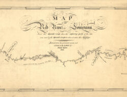
Map of the Red River in Louisiana, 1806
Map of the Red River in Louisiana based on the Freeman-Curtis expedition of 1806.

Courtesy of Library of Congress, Geography and Map Division
Map of the Red River in Louisiana, 1806. King, N. (Nicholas), 1771-1812, cartographer. Shallus, Francis, engraver.
Additional Data
| Courtesy of | Library of Congress, Geography and Map Division |
| Date | 1806 |
| Copyright | Public Domain |
| Disclaimer |