Magazine
Louisiana before Louisiana
The first European look at what became our state
Published: August 31, 2022
Last Updated: June 9, 2023
Houghton Library, Harvard University
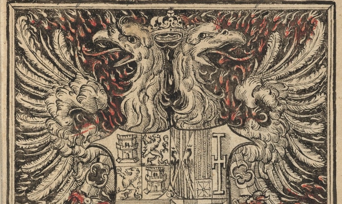
Title page of a 1555 edition of Cabeza de Vaca’s La relacion y comentarios del gouerna.
Everything seemed to go well as Narváez and his six hundred men departed Spain in June 1527. Everything went wrong once their five ships reached Cuba. A hurricane struck; ships were damaged; and soldiers deserted. Down to four hundred men, Narváez proceeded to Tampa in April 1528, where, having grossly underestimated the breadth of the coastal bight, he made the mistake of splitting off a contingent to explore overland. As they struggled up the Florida peninsula and across the panhandle, many soldiers perished of starvation, thirst, or in skirmishes with Natives. Those in the vessels did not fare much better.
It’s at that stage that the treasurer of the expedition, Álvar Núñez Cabeza de Vaca, effectively took command, at least as far as the historical record is concerned. That’s because “Cow’s Head”—his curious appellative said to date to a 1212 victory over the Moors, in which a key military route had been marked with the skull of a cow—had a geographer’s eye for landscape, an anthropologist’s grasp of culture, and a historian’s impulse to document. Years later, Cabeza de Vaca would scribe his recollections, and his book La Relación (The Account) has been in publication ever since.
Cabeza de Vaca’s words are our first detailed account of the Gulf Coast, including a fleeting glimpse of coastal Louisiana. “Very dense forests, great groves of trees and many swamps,” wrote de Vaca of the Tallahassee area in western Florida. There the Spaniards happened upon an Apalachee village of “forty small, low dwellings . . . made of straw” surrounded by fields of corn, beans, and squash, on land that was “mostly flat, the soil sandy and firm.” Among the fauna they saw were “three kinds of deer, rabbits and hares, bears and lions” (a tally that probably incorporates later-seen desert wildlife), as well as one animal “that carries its young in a pouch on its belly”—an opossum, new to them. Among the avian life were “geese, ducks . . . ibises, egrets and heron and quail[;] falcons, marsh hawks, sparrow hawks, goshawks and many other birds.”
Interactions with Natives were always tense and sometimes violent. Cabeza de Vaca marveled at their acumen in weaponry, noting how their arrows had “penetrated the base of a poplar tree one xeme deep,” meaning, according to an annotated translation by Martin A. Favata and José B. Fernández, the distance between an outstretched thumb and index finger.
As starvation loomed, the men had to kill their horses for food. Now overland travel was that much more arduous, as was the search for food and water. “We decided to commend ourselves to God our Lord and take our chances at sea,” wrote Cabeza de Vaca, “rather than remain and be certain to die of thirst.”
They managed to piece together some primitive longboats and, in late September 1528, set sail from Apalachee Bay westward on longshore currents. Their horse-skin water pouches soon rotted away, forcing them on another desperate search, and at one point, they drank themselves sick of salinated water. After many days afloat, they “entered an estuary,” Mobile Bay, by which time they had regrouped with Narváez and proceeded along the present-day Mississippi Gulf Coast in late October 1528.
One day at noon, the strewn-out expedition, or what was left of it, “saw a point of land on the other side of which could be seen a very large river.” It was the Mississippi, and in their minds, probably the same Río del Espíritu Santo that a prior Spanish explorer, Alonso Álvarez de Pineda, had reported in 1519. Cabeza de Vaca ordered his longboat to “put up at an islet at the tip of the land to wait for the other boats.” But Narváez declined, “because the river emptied out into the sea in a torrent.”
It’s impossible to pinpoint where the Spaniards were, except to say in present-day lower Plaquemines Parish near Pass a Loutre, the eastern “toe” of the river’s birdfoot-shaped delta. Complicating such interpretations is the fact that, in the early 1500s, a substantial portion of the river’s outflow discharged through Bayou Lafourche, making it hard to envision what the marshes and distributaries might have looked like at the main mouth of the river. Then there is the factor of sea level, which was about eight inches lower than today, affecting the coastal geomorphology.
The men imbibed ravenously of the abundant freshwater, after which they “entered a bay very close-by in which there were many islets.” Perhaps this was East Bay, between East Pass and Southwest Pass. They landed on one marshy island and searched for firewood to toast the corn kernels they had previously been eating raw. Finding none, they “decided to enter the river which was behind the point one league away,” meaning around three and a half miles.
“Cow’s Head” . . . had a geographer’s eye for landscape, an anthropologist’s grasp of culture, and a historian’s impulse to document.
As Narváez had feared, the current was too powerful, and they were swept seaward by a half a league, pushed by an unhelpful northerly wind. It is likely that Narváez perished at this time. The men took a sounding and found the water to be deepest yet, “more than thirty fathoms” (180 feet) without reaching the bottom. This might put them at the brink of the continental shelf, straight south of the mouth, but the sounding may have been distorted by the strong current.
“We sailed under these conditions for two days,” Cabeza de Vaca recalled, “struggling all the time to reach land,” insinuating they had passed the marshy bays of Barataria and Terrebonne, with Bayou Lafourche’s strong currents in between.
Subsisting on corn, the men proceeded westward along the future Louisiana coast. A storm cost them one of their vessels, after which the weather got “rough, very cold and wintery,” a mid-autumn cold front. More compañeros died.
But in time came a welcome sound. “We heard the roar of the breakers near shore . . . very loud,” indicating they had made it to more consolidated sandy beaches, perhaps in Cameron Parish or the Texas Bend. Solid land meant firewood, and maybe game. On November 6, 1528, the eighty or so survivors ran aground on what was probably Galveston Island, their vessels all but wrecked. They found freshwater as well as firewood, toasted and devoured their corn kernels, and considered their options.
Soon they would name their refuge the Isle of Misfortune, and for good reason. Their attempt to relaunch failed, and many drowned. In the years ahead, they were captured and enslaved by Native tribes, escaped, and were recaptured, by which time the group dwindled to fifteen.
In 1534, four survivors escaped and headed west, to avoid hostile tribes to the south. Somehow, they endured, struggling over increasingly rugged terrain toward the setting sun. Their sojourn became epic, a veritable odyssey, taking them across the plains, deserts, and mountains of sixteenth-century North America—the first Europeans to do so, as well as the first African, a Moroccan named Estebanico, who had been enslaved since the outset.
Some historians believe they crossed the middle of present-day Texas; more say they straddled the Mexican border; most agree they passed through the El Paso area, after which they trekked across the Sierra Madre and Sonoran basin to the Pacific coastal plain. All along, Cabeza de Vaca made mental notes of the landscape, its flora (including prickly pear cactus, their main food source) and fauna (including bison, “Moorish cattle”). Most importantly for the historical record, Cabeza de Vaca documented numerous Native tribes, complete with their names and ways of life. He would become something of an ambassador of peace, enthralled by how warring tribes, overcome with curiosity, would set aside their differences as they received the strange newcomers.
Among the many unexpected details in La Relación was an observation in one Mexican Indigenous community of “a man married to another man. [They] . . . cover their bodies like women and do women’s tasks . . . . Among these people we saw many of these womanish men, who are more robust and taller than the other men and who carry heavy loads.” Editors Favata and Fernández point out in their annotated translation, The Account: Alvar Nunez Cabeza De Vaca’s Relación (Houston: Arte Público Press, 1993), that similar traits were later observed among the Coahuiltecas in Mexico, as well as among the Choctaws closer to our region.
As they neared the Pacific Ocean in early 1536, the foursome, traveling with befriended Natives, “clearly saw traces of Christians.” Soon they encountered a detachment of fellow Spanish soldiers, but Cabeza de Vaca did not characterize the reunion joyfully. Rather, the soldiers “were quite perturbed to see me dressed so strangely and in the company of Indians,” as they themselves had been seeking to capture Indians for bondage. “After this we had many great quarrels . . . because they wanted to enslave the Indians we had brought with us.” Over the course of his eight-year ordeal, Cabeza de Vaca had become an outspoken defender of Natives, and a critic of their maltreatment.
Eventually the soldiers guided the “four ragged castaways” to the Spanish colonial outpost of Culiacán. After restoring their health, they made their way to Mexico City, where they were indeed welcomed, by Hernán Cortés, among others. Cabeza de Vaca alone returned to Spain, where he penned his account.
La Relación renewed Spanish interest in La Florida, which led to a subsequent expedition, this one commanded by Hernando de Soto. It, too, would be consequential for Louisiana, to say the least.
Richard Campanella, a geographer with the Tulane School of Architecture, is the author of The West Bank of Greater New Orleans, Cityscapes of New Orleans, Bienville’s Dilemma, and other books. He may be reached at richcampanella.com, [email protected], or @nolacampanella on Twitter.