Summer 2021
Putting the “West” in the West Bank
Putting the “West” in the West Bank
Published: May 28, 2021
Last Updated: August 31, 2021

Jeffrey Isaac Greenberg / Alamy
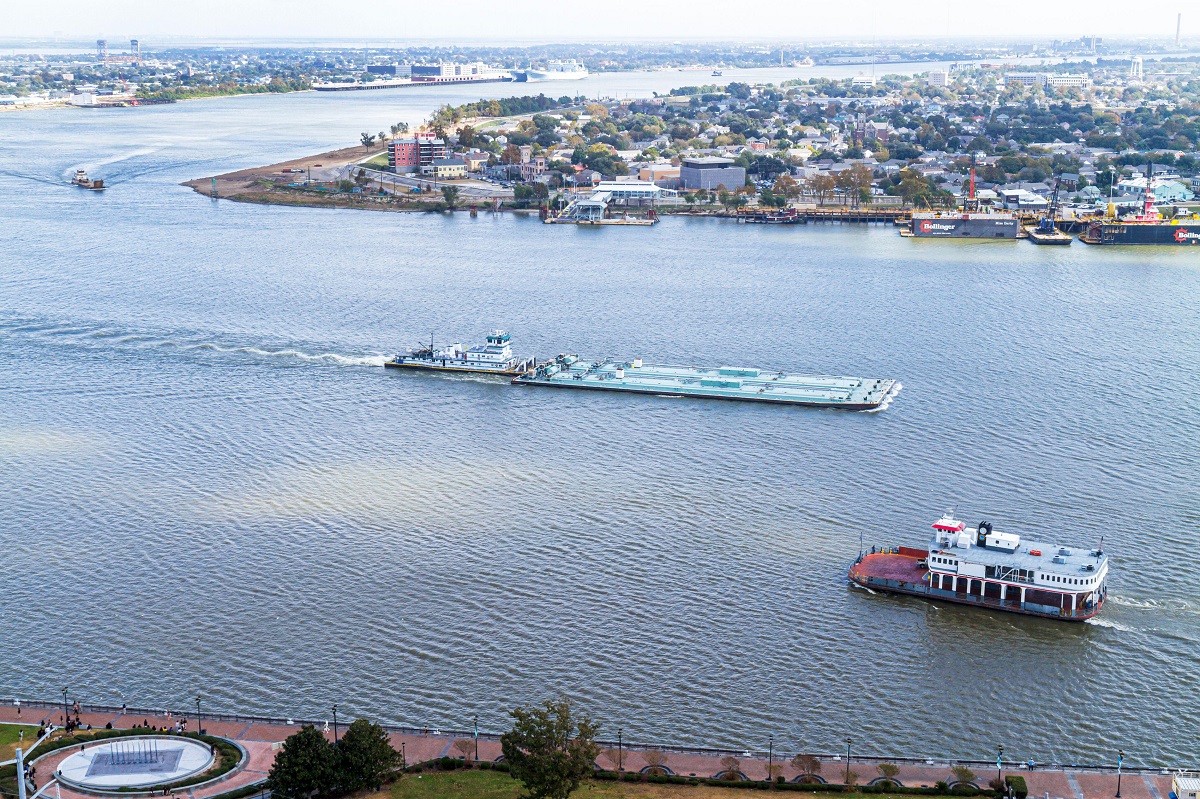
The Mississippi River, looking toward Algiers on the West Bank.
If we flip this script and put the West Bank at center stage, an interesting question arises as to what exactly is “west” about the West Bank. After all, it really is east of downtown, and generally in the southern half of the metropolis. The answer is twofold. One comes from the nomenclature of navigation; the other invokes the historical geography of American expansion.
“West Bank” is a relatively recent term. Iberville called this land mass the “left bank,” because it was à gauche as he ascended the Mississippi in 1699. Mariners later called it the “right bank,” following the flow of the river, as did locals generally in the 1800s (and as Parisians do for the Seine). Most New Orleanians used phrases such as “across the river,” “opposite the river,” or “over the river,” all of which framed the West Bank as subordinate to their side of the Mississippi, as Manhattanites do when they refer to “the outer boroughs.”
Not until the 1900s did the vernacular converge on “West Side” and “West Bank,” the reason being that, by this time, navigational nomenclature had become standardized. To mariners, then and now, “west” means the western side of the valley anywhere on the Mississippi, regardless of the cardinal direction at any given meander. This reckoning is not unique to New Orleans.
“West Side” and “West Bank” both circulated in parlance until the Greater New Orleans Mississippi River Bridge opened in 1958, which made daily cross-bank commuting common and drove the lexicon to settle on a single term. Highway signs standardized to “West Bank,” after which “West Side” gradually died out. The signs today fuse the two words into “Westbank,” probably so as not to confuse out-of-state motorists by implying a cardinal direction (see above). While many people have adopted that orthography, no one can seem to agree on capitalization. I capitalize both “West Bank” and “East Bank” because I believe treating them as proper nouns, at least for New Orleans–region contexts, correctly implies that these are both genuine subregions within a single metropolis.
Now to that second meaning of “west.” To a degree largely unremembered today, the West Bank was historically the Gulf South’s jumping-off point to the western frontier. You had to go through here to get there.
For example, the Company Canal, first dug in 1830, strove to connect New Orleans with points west, first to Bayou Lafourche and ultimately to Morgan City, to link up with the Attakapas region of southwestern Louisiana. The subsequent annexation of Texas, the Mexican cession of the Southwest, and the discovery of gold in California all positioned the West Bank as a nexus between the South and the West and made New Orleans a springboard for America’s westward expansion, a role more commonly associated with St. Louis, Kansas City, and Omaha.
One estimate from 1853 put New Orleans’s “floating” (transient) population at “125,000 strangers from the Western States; 25,000 Californians, going to and returning from California; [and] 125,000 immigrants, and strangers from Texas, Florida, Alabama, West Indies, etc.” Another estimate put the California transients at 50,000. While these figures may be hyperbolic, their magnitude implies that people moved westward through New Orleans as much as New Orleanians craved products coming in from the West.

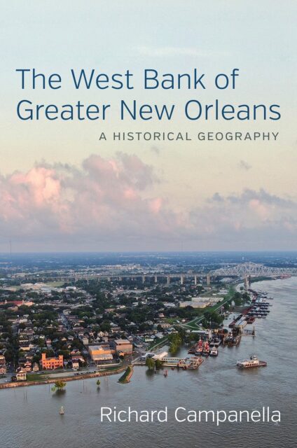
Campanella’s book The West Bank of Greater New Orleans: A Historical Geography is available now. LSU Press
Which brings railroads into the picture. In 1851 financiers resolved to build tracks to connect Algiers with St. Landry Parish—not quite the dreamed-of California connection, but a step in that westward direction. Two years later, investors gathered $6 million and obtained a state charter to build the New Orleans, Opelousas, and Great Western Railroad “to a point on the Sabine River most favorable for the purpose of constructing said Road through the State of Texas to El Paso [and] thence to the Pacific Ocean.” This and other West Bank railroads all aimed to serve western markets because their counterparts on the East Bank could not do so without the use of cumbersome “transfer ferries”—that is, train ferries to get locomotives and rolling stock across the unbridged Mississippi.
After the Civil War, shipping magnate Charles Morgan acquired the Great Western and renamed it Morgan’s Louisiana & Texas Railroad. He expanded its Algiers rail yards to include nine tracks, a roundhouse, depots and warehouses, and a new steam cotton press. Now, western cotton could arrive at New Orleans by rail rather than river, and the West Bank could do all the handling itself. “Morgan’s Louisiana and Texas railroad,” reported the Galveston Weekly News in 1880, “has brought into New Orleans thus far this season 35,978 bales of cotton, against 8400 last year.” Under Morgan’s leadership, the company went intermodal, building an international steamship line and offering “rail connections to points in Texas, New Mexico and California,” all from Algiers. Now cotton could arrive from Texas, get pressed at Algiers, and be shipped out to world ports, all without ever touching the East Bank.
The West Bank’s western advantage affected passenger travel as well. East Bankers had to first take a ferry to Algiers to reach the Pacific Ocean. “One leaves Algiers, opposite New Orleans,” explained a local advocate in 1882, “to Morgan City, and . . . after crossing some of the finest parishes of this State, reaches Houston and San Antonio [and] proceeds to Paso del Norte [now El Paso] and thence along the Southern Pacific Railroad to Los Angeles, [where] it joins with the Central Pacific Railroad and reaches the distant city of San Francisco.” In short, if you lived in the lower South and wanted to go to the Southwest, you pretty much had to through the West Bank.
That’s what railroad investors understood in 1869 when they proposed connecting the Gulf Coast with points west, for which they envisioned a major railyard on the West Bank. In a display of pithy jocularity not normally associated with nineteenth-century railroad men, they named the site “West-We-Go.” The name stuck, giving rise to today’s Westwego, a toponym that is as cleverly catchy as it is historically meaningful.
Western cattle topped the list of the commodities rolling eastward on trains through the West Bank. The beasts also arrived at the West Bank overland, on hoof, again because of its terrestrial connectivity to the western cattle country. One woman who had grown up on the West Bank, Katherine Harvey Rogér, recalled the cattle drives she thrilled to see as a little girl in the late 1800s—“wild, long-horned Tucapaws [Attakapas] cattle that periodically stampeded through Harvey. We knew they were coming by sounds . . . of fast-pounding hoofs, the pistol-like cracking of long whips and the whoops and howls of cowboys on wild Texas ponies, driving them . . . to the slaughter house pens in New Orleans. Everyone . . . ran madly for shelter [as] the stampeding cattle left a trail of wrecked fences and small houses . . . and sometimes death to those who were caught in their path.”
This was not in Fort Worth, or in Dodge City, or in Cheyenne, but in Harvey in Jefferson Parish, Louisiana. That’s the “west” I hear when I hear “West Bank”—the one beneath the setting sun.
Richard Campanella, a geographer with the Tulane School of Architecture, is the author of The West Bank of Greater New Orleans, Cityscapes of New Orleans, Bienville’s Dilemma, and other books. He may be reached through http://richcampanella.com, [email protected], or @nolacampanella on Twitter.
