Geography
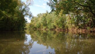
Bayou Teche
Before railroads and highways, Bayou Teche served as an important transportation route deep into the fertile interior of south-central Louisiana.

Before railroads and highways, Bayou Teche served as an important transportation route deep into the fertile interior of south-central Louisiana.
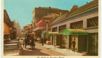
The origins of the notorious adult playground
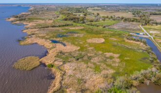
In response to decades of warnings about land loss, Louisiana released its first Coastal Master Plan in 2007.
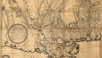
A portion of Louisiana was once the western extremity of colonial Florida
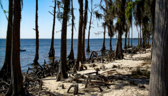
The Fontainebleau State Park bears the name of Bernard de Marigny's sugar plantation, which formerly occupied this site and was itself named after the estate of the French king Francois I.
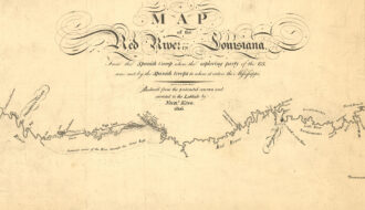
An American effort to explore the Louisiana Purchase territory was hindered by a log jam on the Red River and two hundred Spanish troops.
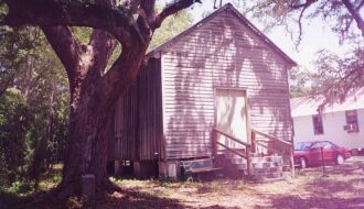
Mandeville was founded in 1834, occupying part of what was formerly the sugar plantation of Bernard de Marigny de Mandeville in Louisiana.

The Natchitoches settlement, founded in 1714, is the oldest in the Louisiana Territory.
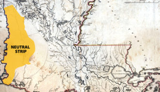
The Neutral Strip existed outside the governance of either the United States or Spain until 1821.
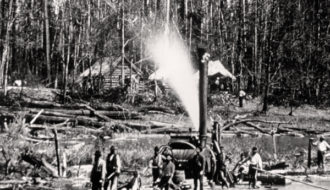
The Great Raft was a thousand-year-old logjam in the Red River that prevented transportation downriver to New Orleans.
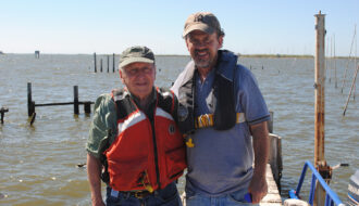
Woody Gagliano sounded the alarm on Louisiana’s coastal land loss crisis and worked with his colleagues for decades to remedy the problem.
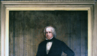
Surveyed and platted in 1883 for the New Orleans and Northeastern Railroad, Slidell was named for John Slidell, Confederate ambassador to France and U.S. congressman.
One-Year Subscription (4 issues) : $25.00
Two-Year Subscription (8 issues) : $40.00
